
New York City travel maps
7 maps by creators who’ve been to New York City, with 404 places between them.
Two of the maps here are built around free things to do in the city, one of them pinned to April. Most of the rest lean toward landmarks: a guide written for teenagers, one that pairs landmarks with shopping, and one about immersive experiences. Three maps wander outside the five boroughs, to New Jersey in spring, to King of Prussia, and to Poughkeepsie for its views of the Hudson River.
Central Park, Grand Central and Rockefeller Center come up most often, with St. Patrick's Cathedral, Times Square and Fifth Avenue close behind. Farther down the list, Roosevelt Island, Bryant Park, Hudson Yards and Governors Island keep reappearing, as do Dumbo, Washington Square Park and the Brooklyn and Manhattan bridges.
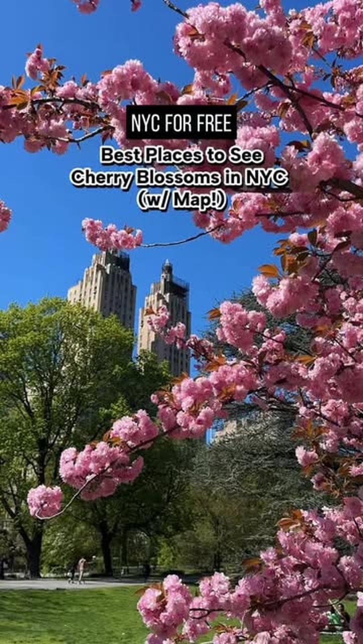


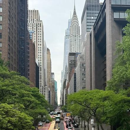
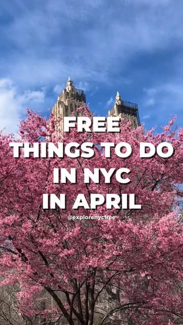







Most-mapped places in New York City
- 1
Central Park
On 5 maps: @nyc_forfree’s NYC Free, @nycpeak’s @nycpeak's Travel Map, @explorenycfree’s @explorenycfree's April 2026 NYC Map and 2 more
- 2
Grand Central
On 4 maps: @nyc_forfree’s NYC Free, @explorenycfree’s @explorenycfree's April 2026 NYC Map, @thekidswin’s @thekidswin's Travel Map and 1 more
- 3
Rockefeller Center
On 4 maps: @nyc_forfree’s NYC Free, @explorenycfree’s @explorenycfree's April 2026 NYC Map, @thekidswin’s @thekidswin's Travel Map and 1 more
- 4
St. Patrick's Cathedral
On 4 maps: @nyc_forfree’s NYC Free, @rediscovernewyork’s New York, @thekidswin’s @thekidswin's Travel Map and 1 more
- 5
5th Avenue
On 4 maps: @nyc_forfree’s NYC Free, @nycpeak’s @nycpeak's Travel Map, @explorenycfree’s @explorenycfree's April 2026 NYC Map and 1 more
- 6
Roosevelt Island
On 4 maps: @nyc_forfree’s NYC Free, @nycpeak’s @nycpeak's Travel Map, @explorenycfree’s @explorenycfree's April 2026 NYC Map and 1 more
- 7
- 8
Hudson Yards
On 3 maps: @nyc_forfree’s NYC Free, @rediscovernewyork’s New York, @explorenycfree’s @explorenycfree's April 2026 NYC Map
- 9
9/11 Museum
On 3 maps: @nyc_forfree’s NYC Free, @rediscovernewyork’s New York, @thekidswin’s @thekidswin's Travel Map
- 10
- 11
- 12
Wash Sq Park
On 3 maps: @nyc_forfree’s NYC Free, @nycpeak’s @nycpeak's Travel Map, @thekidswin’s @thekidswin's Travel Map
- 13
- 14
Governors Island
On 3 maps: @nyc_forfree’s NYC Free, @nycpeak’s @nycpeak's Travel Map, @explorenycfree’s @explorenycfree's April 2026 NYC Map
- 15
Empire State Building
On 2 maps: @rediscovernewyork’s New York, @onthemovewithmad’s @onthemovewithmad's Travel Guide
- 16
Brooklyn & Manhattan Bridge
On 2 maps: @nycpeak’s @nycpeak's Travel Map, @thekidswin’s @thekidswin's Travel Map
- 17
Lower East Side
On 2 maps: @rediscovernewyork’s New York, @thekidswin’s @thekidswin's Travel Map
- 18
The West Village
On 2 maps: @brown.eyed.flower.child’s @brown.eyed.flower.child's NYNJ Guide, @thekidswin’s @thekidswin's Travel Map
- 19
Union Square
On 2 maps: @nyc_forfree’s NYC Free, @explorenycfree’s @explorenycfree's April 2026 NYC Map
- 20
Greenacre Park
On 2 maps: @nyc_forfree’s NYC Free, @nycpeak’s @nycpeak's Travel Map
- 21
- 22
World Trade Center
On 2 maps: @nyc_forfree’s NYC Free, @nycpeak’s @nycpeak's Travel Map
- 23
- 24
Harlem
On 2 maps: @nyc_forfree’s NYC Free, @nycpeak’s @nycpeak's Travel Map
- 25
Randall’s Island Park
On 2 maps: @nyc_forfree’s NYC Free, @explorenycfree’s @explorenycfree's April 2026 NYC Map
- 26
Tompkins Square Park
On 2 maps: @nyc_forfree’s NYC Free, @explorenycfree’s @explorenycfree's April 2026 NYC Map
- 27
Brooklyn Botanic Garden
On 2 maps: @nyc_forfree’s NYC Free, @brown.eyed.flower.child’s @brown.eyed.flower.child's NYNJ Guide
- 28
Hudson River
On 2 maps: @nycpeak’s @nycpeak's Travel Map, @brown.eyed.flower.child’s @brown.eyed.flower.child's NYNJ Guide
- 29
Coney Island
On 2 maps: @nyc_forfree’s NYC Free, @nycpeak’s @nycpeak's Travel Map
- 30
Upper East Side
On 2 maps: @rediscovernewyork’s New York, @nycpeak’s @nycpeak's Travel Map
- 31
Macy’s Herald Square
On 2 maps: @nyc_forfree’s NYC Free, @explorenycfree’s @explorenycfree's April 2026 NYC Map
- 32
Jersey City
On 2 maps: @nyc_forfree’s NYC Free, @nycpeak’s @nycpeak's Travel Map
- 33
Broadway
On 2 maps: @nyc_forfree’s NYC Free, @nycpeak’s @nycpeak's Travel Map
- 34
Best Bagel & Coffee
- 35
Fishs Eddy
- 36
- 37
Moynihan Train Hall
- 38
New York Public Library (Stephen A. Schwarzman Building)
- 39
- 40
The Irish Exit
- 41
Top of the Rock Observation Deck
- 42
Reeves Reed Arboretum
On @brown.eyed.flower.child’s @brown.eyed.flower.child's NYNJ Guide
- 43
Secret Tea Room
On @brown.eyed.flower.child’s @brown.eyed.flower.child's NYNJ Guide
- 44
Greenwich Village
- 45
Los Tacos #1
- 46
Louis Vuitton
- 47
Saks Fifth Avenue
- 48
Summit One Vanderbilt
- 49
Angelo’s Pizza
- 50
Blank St