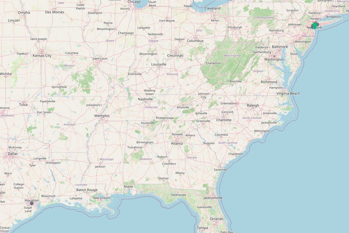
Places on this map
New York serves as the primary canvas for @nycpeak's citywide retrospectives and skyline reels.
Standing in New York Harbor, the Statue of Liberty is captured by @nycpeak as an enduring skyline fixture.
Crossing the East River, the Brooklyn & Manhattan Bridge paths are frequent focal points for @nycpeak's skyline walks.
Footage from @nycpeak shows Central Park across different eras, capturing its walking paths and skyline tree borders.
Across the East River, Brooklyn serves as a backdrop for @nycpeak's bridge walks and local coffee shop stops.
Neon-lit Times Square is documented by @nycpeak as an essential piece of Midtown's night skyline.
Historic footage shared by @nycpeak features Washington Square Park during the mid-1980s, centered around the arch.
In Midtown East, @nycpeak highlights Greenacre Park as one of five lesser-known city spots, set apart by its quiet outdoor waterfall.
@nycpeak includes the Roosevelt Island Tramway as an under-the-radar way to see the East River and Manhattan skyline from above.
Tucked inside Grand Central Terminal, The Whispering Gallery is singled out by @nycpeak for its unusual acoustic design.
On the Upper West Side, Pomander Walk made @nycpeak's shortlist of tucked-away micro-neighborhoods hidden between avenues.
Overlooking the East River from the Financial District, The Elevated Acre is an elevated green terrace recommended by @nycpeak.
On a rainy afternoon in Lower Manhattan, @nycpeak stops by Delmonico's along the cobblestones of Beaver Street.
Tucked on Stone Street, Harry's Side Bar is one of the classic Lower Manhattan bars featured in @nycpeak's rainy-day reel.
@nycpeak visits Ulysses' Folk House along the Stone Street pedestrian corridor during a wet walk through Lower Manhattan.
The entrance to Broad St. Station is framed by @nycpeak during a wet walk around the Financial District.
Steps from historic trading buildings, Wall Street Station is captured by @nycpeak as part of a Lower Manhattan loop.
Rising above Lower Manhattan, the World Trade Center anchors the southern skyline in @nycpeak's rain-soaked city video.
Cobblestone streets and cast-iron storefronts in Soho are featured in @nycpeak's neighborhood guide for photo angles and dining.
@nycpeak pins Harlem as an essential Manhattan neighborhood for street scenes, culture, and neighborhood dining.
Spanning avenues east of Central Park, the Upper East Side appears on @nycpeak's city guide route.
Covering expansive neighborhoods across the river, Queens is highlighted on @nycpeak's borough map.
Reachable across the bay, Staten Island appears on @nycpeak's wider map of New York City spots.
South along the Brooklyn coast, Coney Island is pinned by @nycpeak for its classic boardwalk and oceanfront views.
Framing the harbor entrance between Brooklyn and Staten Island, the Verrazzano Bridge is highlighted on @nycpeak's route.
Set right in the Upper New York Bay, Ellis Island is included in @nycpeak's harbor-facing sightseeing pins.
Bordering Manhattan's west shore, the Hudson River features across @nycpeak's waterfront photos and aerial reels.
Sitting in New York Harbor, Governors Island is pinned by @nycpeak as an open island park destination.
Flowing past Midtown and Lower Manhattan, the East River frames many of @nycpeak's bridge and tramway posts.
Streets through Lower Manhattan are shown by @nycpeak on quiet rainy days, featuring historic stone alleys and subway entrances.
Towering office towers and crowded cross-streets define Midtown Manhattan in @nycpeak's city recommendations.
Reached by the tramway, Roosevelt Island offers long shoreline views back toward the Manhattan grid.
Across from Midtown, Long Island City is pinned by @nycpeak for waterfront perspectives and rapid development.
Bordering northwestern Queens, Astoria is marked on @nycpeak's citywide map for food and residential streets.
Directly facing Lower Manhattan across the Hudson, Jersey City appears in @nycpeak's regional vantage points.
Located across the Kill Van Kull, Bayonne is included on @nycpeak's broader map of the metropolitan waterfront.
@nycpeak photographs the Manhattan Bridge spanning the East River, capturing street angles from nearby coffee shops.
Downtown Houston appears in an archival post by @nycpeak detailing urban land use and 1970s parking lots.
Standing at Fifth Avenue and Broadway, the Flatiron Building is documented by @nycpeak for its triangular architecture and history.
The streetscape of Fifth Avenue forms part of @nycpeak's architectural walk around the Flatiron district.
Running past Madison Square, Broadway intersects with Fifth Avenue right where @nycpeak observes the historic Flatiron Building corner.
Crossing the Flatiron intersection, 23rd Street frames the southern plaza where @nycpeak documents the neighborhood architecture.
✨ BUILT WITH NOWY
Turn your travel posts into a shareable, monetizable map.
Make your own map →Is this your map? Claim it